Photoscanning
Recreating Vulci in Three Dimensions
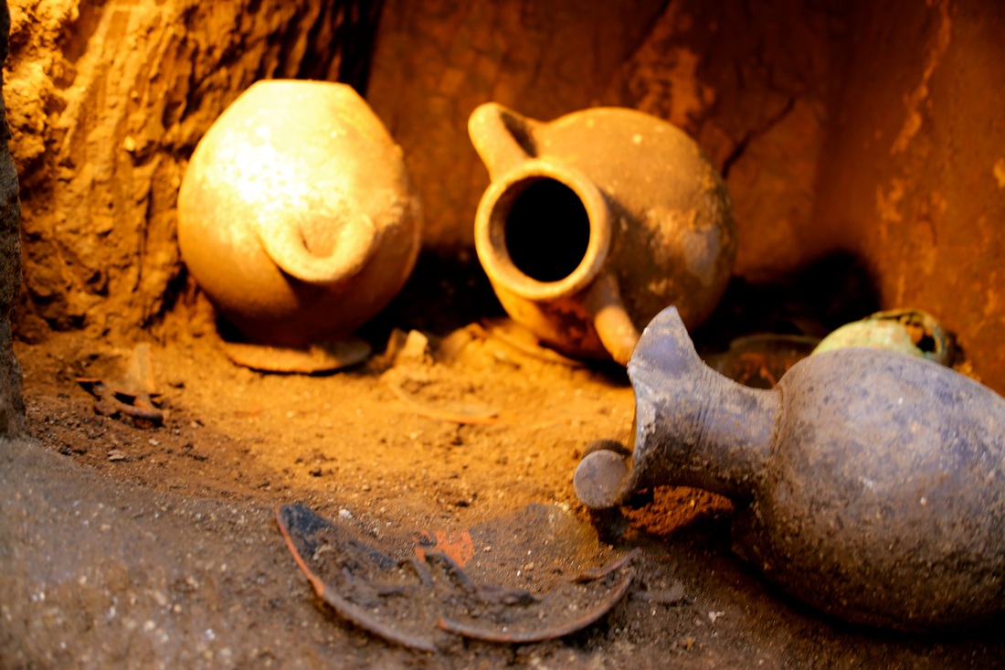
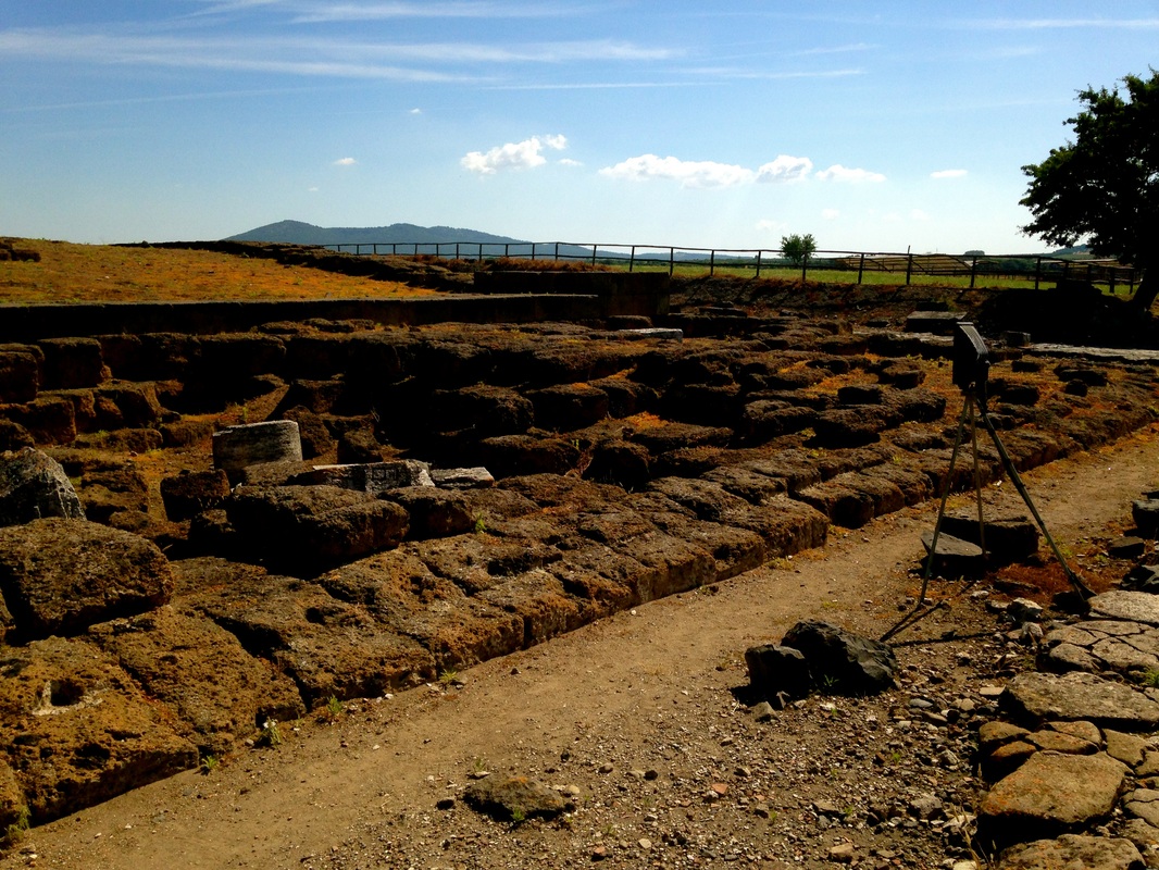
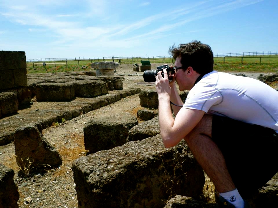
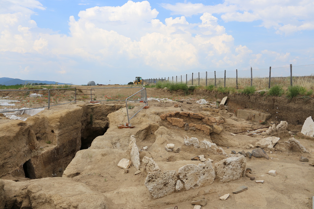
Photoscanning is a sophisticated data rendering technique in which multiple photographs are synthesized into a digital 3D model. This active sensor approach demands more user involvement than laser scanning, which delegates most of the data collection and interpretation processes to a consolidated device; the photographer(s) must be certain to capture as many images of the artifact or site in question to produce a detailed, intelligible result. Depending on the interpretive needs, a photoscan may or may not involve the use of 2D geo-referenceable targets.
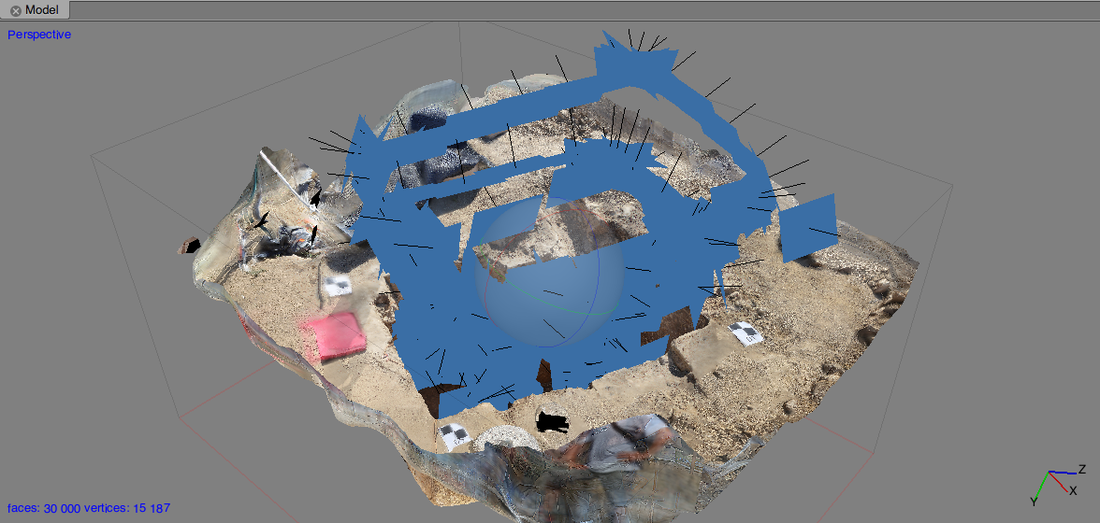
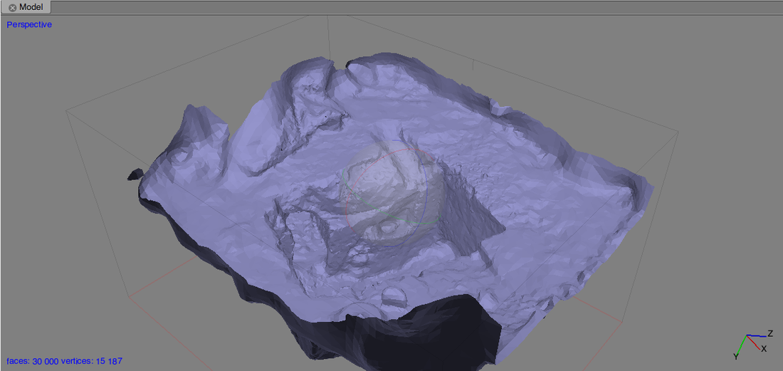
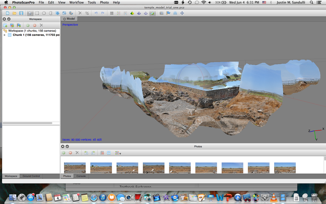
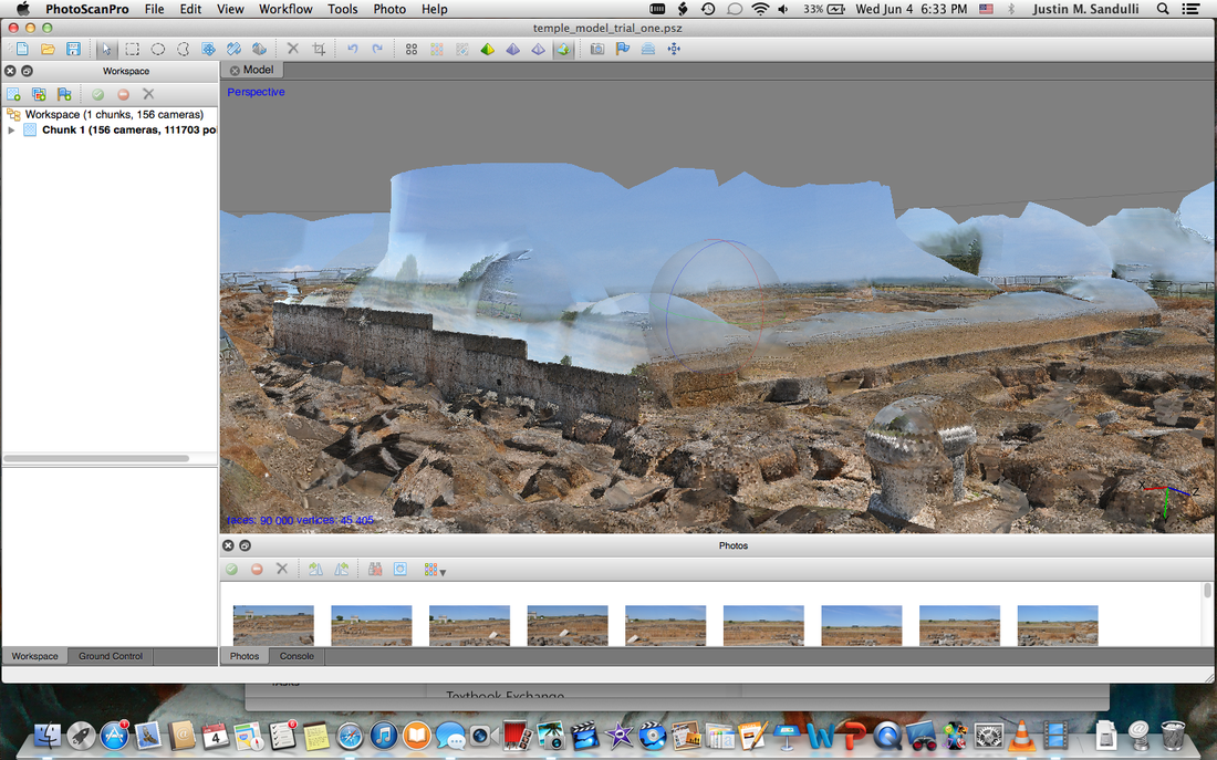
The images are imported into Agrisoft PhotoScan, which aligns the image points based upon the location and angle from which they were taken, assembles them into a single entity, and displays mesh overlays of its polygonal and textural makeups. Using the software, researchers can first and build the model's full texture, isolate certain features, crop unwanted regions, and so forth. The final product may then be exported for refinement and continued analysis in other applications, such as Meshlab and 3D Studio Max.
The images are imported into Agrisoft PhotoScan, which aligns the image points based upon the location and angle from which they were taken, assembles them into a single entity, and displays mesh overlays of its polygonal and textural makeups. Using the software, researchers can first and build the model's full texture, isolate certain features, crop unwanted regions, and so forth. The final product may then be exported for refinement and continued analysis in other applications, such as Meshlab and 3D Studio Max.
Sites Surveyed & Scanned
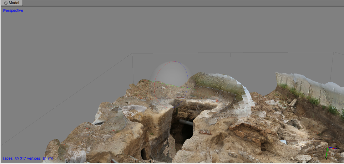
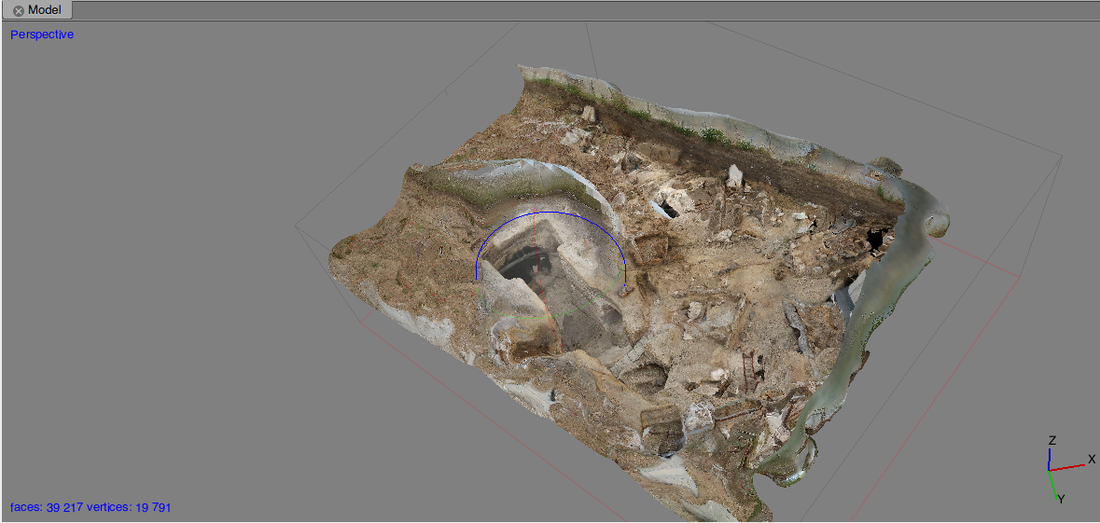
Domus del Pescatore
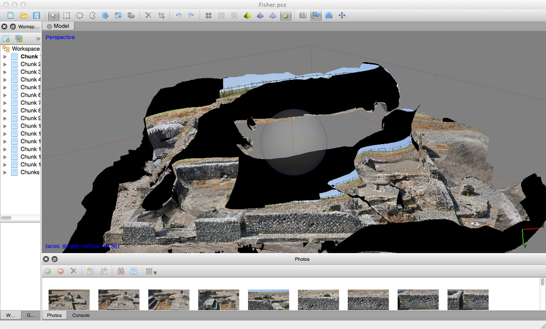
Photo scan model of the Domus del Pescatore
Il Tempio Grande
Tomb of the Silver Hands
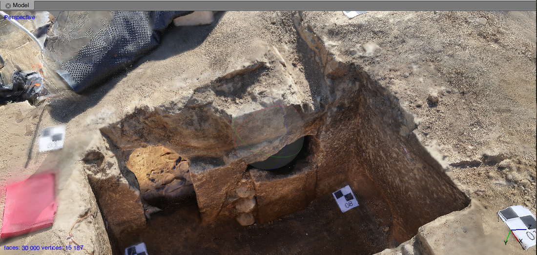
Trench Tomb Chambers